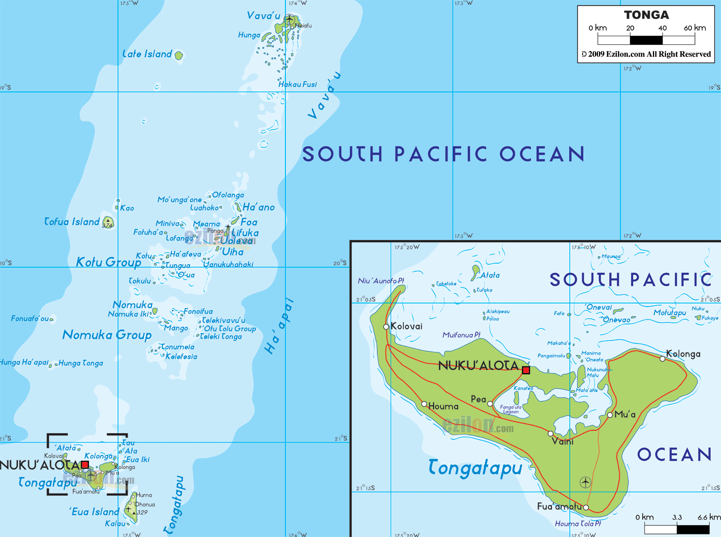

Description: The Physical Map of Tonga showing major geographical features like elevations, islands, ocean, lakes, plateaus, peninsulas, rivers, plains, landforms and other topographic features.
 Tonga
is an island country located in the South Pacific Ocean
and is a part of the sub region of Oceania. The group is
constituted by 176 islands out of which some have a
limestone base formed by coral reefs and others have a
volcanic base.
The country covers an area of 747 square kilometers of
which 30 square kilometers is taken up by water bodies
and the rest is land. The country lies between 20
degrees south latitude and 175 degrees west longitude.
The combined coastline is 419 kilometers long. The
highest natural peak is located on Kao which is 1,033
meters above sea level but has no name. The lowest point
however lies at mean sea level on the Pacific Ocean.
The islands have 21% of arable land which is used to
grow permanent crops throughout the year. The climate is
mostly tropical with a hot and cold season. The area is
also frequented by cyclones and earthquakes. Fonuafo’ou
is a volcanic peak and so is Late’iki and both of them
are huge causes of worry. The latter had last erupted in
the year 1985. The islands do possess lakes which are
excellent for swimming but none of them are large.

Regional Directory of Australia
Information and guide about Australia and website listing.

Directory of the World
Information and guide about the World and website listing.

Regional Directory of United States of America
Information and guide about United States of America and websites with American topics.

Regional Directory of Europe
Information and guide about Europe and websites with European topics.

Regional Directory of Australia
Information and guide about Australia and websites with Australian topics.