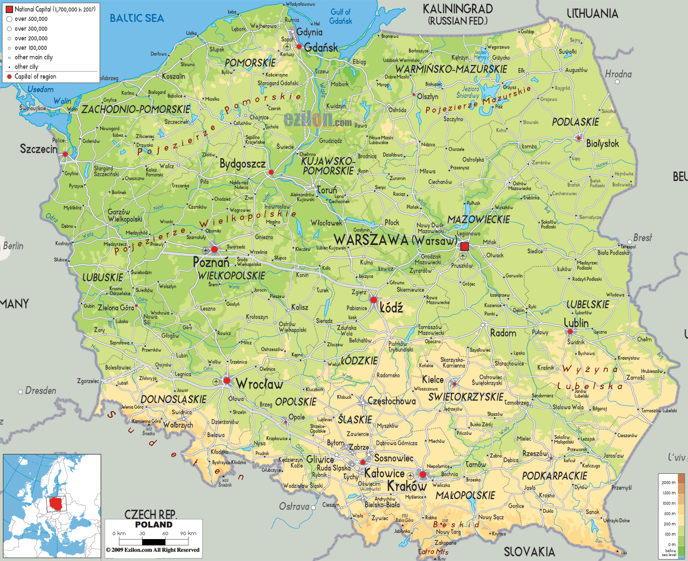

Description: The Physical Map of Poland showing major geographical features like elevations, mountain ranges, seas, lakes, plateaus, peninsulas, rivers, plains, landforms and other topographic features.
 Poland
is a central eastern European country covering a total
area of 312679 square kilometers. The country is an
unbroken piece of land stretching from the Carpathian
Mountains in the south to the Baltic Sea up north.
The country has a band of plains running from the east
to west. Then there is the northeastern region which is
also called the Masurian Lake District as it has over
2000 lakes and lots of forests.
The average elevation of the area is 173 meters and the
highest natural point is Mount Rysy at 2499 meters. It
is a mountain in the Tatra Range which is a part of the
Carpathian Mountains.
The only desert in Poland is called the Bledow Desert
and is located in the southern part of the country. The
Vistula River is the longest in the country with a
length of 1047 kilometers. Lake Sniardwy is the largest
lake.

Political Map of Poland
Political map and map image of Poland.

Road Map of Poland
Road map and map image of Poland.

Regional Directory of United States of America
Information and guide about United States of America and websites with American topics.

Regional Directory of Europe
Information and guide about Europe and websites with European topics.

Regional Directory of Australia
Information and guide about Australia and websites with Australian topics.