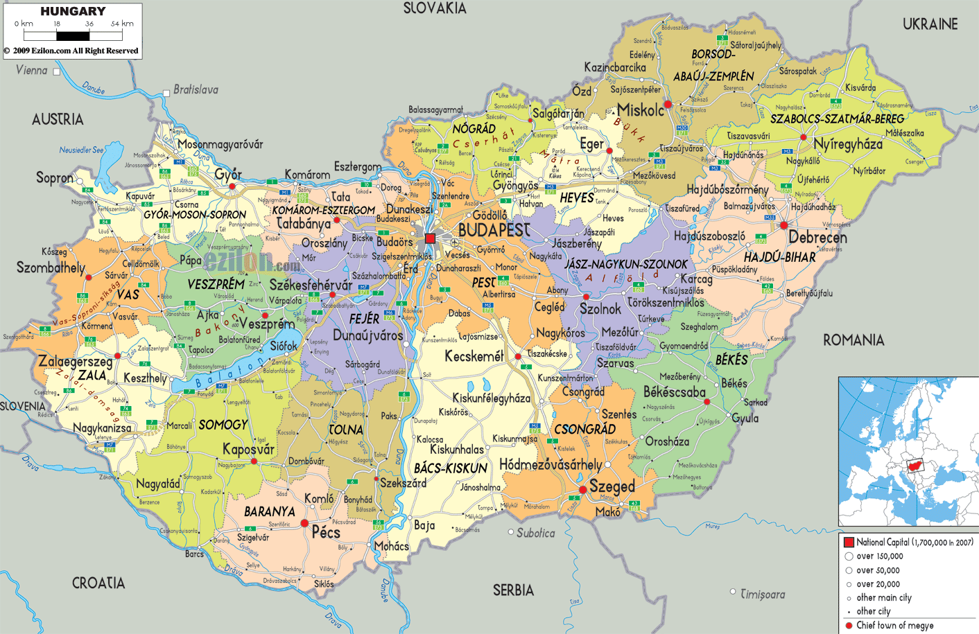

Description: Detailed large political map of Hungary showing names of capital cities, towns, states, provinces and boundaries with neighbouring countries.
 Hungary
is situated in Central Europe with its borders touching
those of the Slovak Republic, Ukraine, Romania, Croatia,
Austria, Slovenia and Serbia. With Budapest as its
capital Hungary is one of the smallest countries in
Europe, the population speaking Hungarian as well as
English, German and some French.
The country’s landscape is composed of the Great Plain,
which stretches from the Danube to the Carpathian
Mountains, the mountains of Transylvania and those of
the Fruska Gora. Lake Balaton is one of the largest in
Central Europe.

Physical Map of Hungary
Physical map and map image of Hungary.

Road Map of Hungary
Road map and map image of Hungary.

Regional Directory of United States of America
Information and guide about United States of America and websites with American topics.

Regional Directory of Europe
Information and guide about Europe and websites with European topics.

Regional Directory of Australia
Information and guide about Australia and websites with Australian topics.