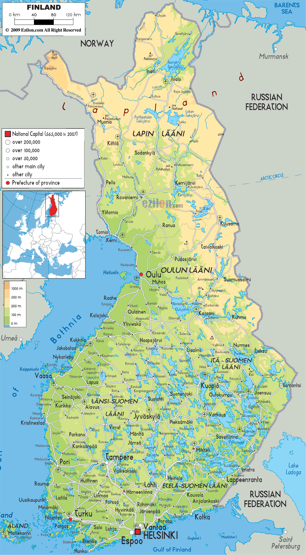

Description: The physical map of Finland showing major geographical features like elevations, mountain ranges, seas, lakes, plateaus, peninsulas, rivers, plains, landforms and other topographic features.
 Finland
is the northernmost country in Europe and is bordered by
land and sea. The north is bordered by Norway, Northwest
and west by Sweden and the Gulf of Bothnia respectively,
South by the Gulf of Finland and Estonia and east by
Russia.
The total area covered by the country is
337030 square kilometers and almost one third of it lies
in the Arctic Circle.
The land area of Finland is divided into four distinct
parts and they all have their own characteristics. The
Archipelago Finland is mostly covered by rock and water.

Political Map of Finland
Political map and map image of Finland.

Road Map of Finland
Road map and map image of Finland.

Regional Directory of United States of America
Information and guide about United States of America and websites with American topics.

Regional Directory of Europe
Information and guide about Europe and websites with European topics.

Regional Directory of Australia
Information and guide about Australia and websites with Australian topics.