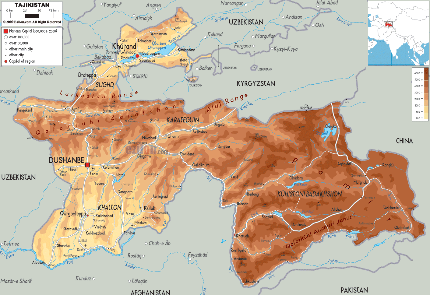

Description: The Physical Map of Tajikistan showing major geographical features like elevations, mountain ranges, deserts, seas, lakes, plateaus, peninsulas, rivers, plains, landforms and other topographic features.
 The
Republic of Tajikistan lies in the central Asia and it
is basically a landlocked nation. This country lies near
Pakistan and these two nations are separated by the
Wakhan Corridor. In terms of area, Tajikistan is
considered to be the smallest country in the Central
Asia.
The mountains of the Pamir range covers this
nation and about half of the country is at least ten
thousand feet above the sea level. Tajikistan has more
than nine hundred rivers and these rivers are at least
ten kilometers long. About 2% of Tajikistan is covered
by lakes. There are about 7,349,145 people living in
this nation and most of them belong to the Tajik ethnic
group. There are also some Russians and Uzbeks living in
this country.
The main language that is spoken in Tajikistan is known
as Tajik and this language is basically a variety of the
Persian language. Russian is also spoken by some people,
particularly when conducting business. Even though
Tajikistan is a very poor country, most of the people in
the country are literates and about 99% of its people
can write and read. Dushanbe is the capital city of
Tajikistan and it is also one of its chief urban
centers.

Political Map of Tajikistan
Political map and map image of Tajikistan.

Road Map of Tajikistan
Road map and map image of Tajikistan.

Regional Directory of United States of America
Information and guide about United States of America and websites with American topics.

Regional Directory of Europe
Information and guide about Europe and websites with European topics.

Regional Directory of Australia
Information and guide about Australia and websites with Australian topics.