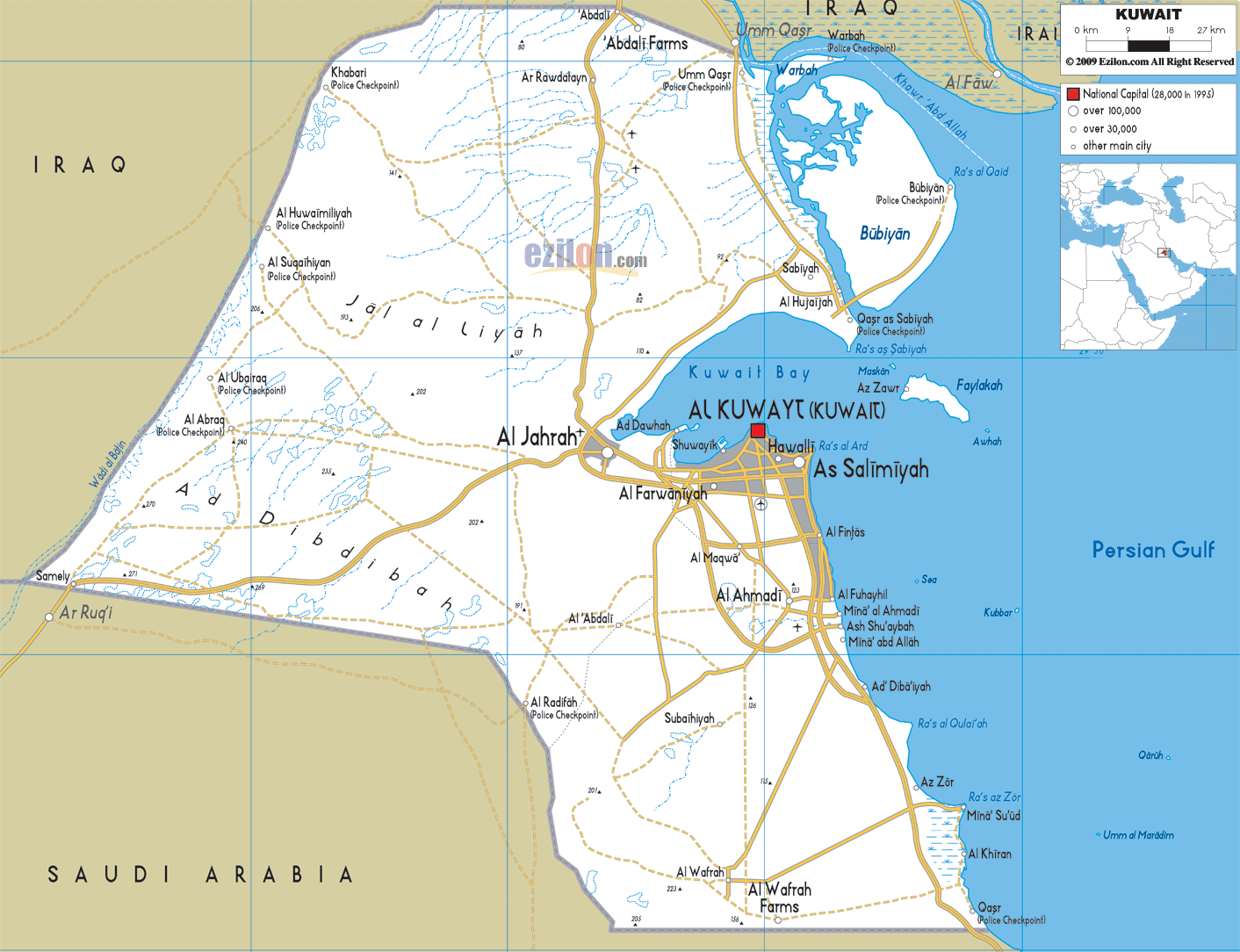

Description: Detailed clear large road map of Kuwait with road routes from cities to towns, road intersections to provinces and perfectures.
 Kuwait
is located in the Middle East and borders with Iraq and
Saudi Arabia. It looks out onto the Persian Gulf where
nine other islands belonging to Kuwait lie. The capital
is Kuwait City and the official language is Arabic,
although English is widespread.
The country’s landscape is mostly composed of a desert
plateau with a lower, more fertile coastal area. The
Faikakai Island is a Bronze Age and Greek archeological
site and can be reached by ferry. Here in Al Jahrah
traditional style boats are still built for pearl
fishing or trade.

Physical Map of Kuwait
Physical map and map image of Kuwait.

Political Map of Kuwait
Political map and map image of Kuwait.

Regional Directory of United States of America
Information and guide about United States of America and websites with American topics.

Regional Directory of Europe
Information and guide about Europe and websites with European topics.

Regional Directory of Australia
Information and guide about Australia and websites with Australian topics.