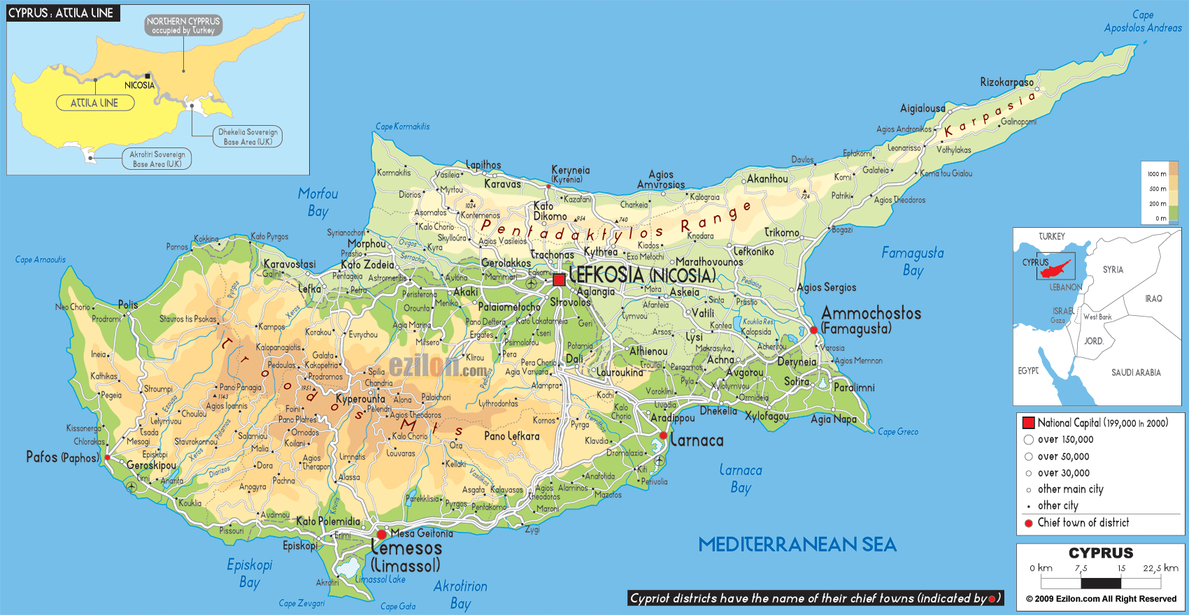

Description: The Physical Map of Cyprus showing major geographical features like elevations, mountain ranges, deserts, seas, lakes, plateaus, peninsulas, rivers, plains, landforms and other topographic features.
 Cyprus
part of Europe situated in the Eastern Mediterranean;
with Nicosia as its capital, this island is the third
largest in the Mediterranean. The official language is
Greek, which is spoken by the majority of the population
along with Turkish. English, German and French are also
spoken.
The landscape varies considerably from rocky cliffs,
mountains strewn with forestland, rugged coastlines and
sandy beaches. The Troodos Mountains in the island’s
center rise up to 1,952 meters above sea level, and
there is actually skiing during the winter, while in the
summer one can enjoy hikking, cycling and birdwatching.

Political Map of Cyprus
Political map and map image of Cyprus.

Road Map of Cyprus
Road map and map image of Cyprus.

Regional Directory of United States of America
Information and guide about United States of America and websites with American topics.

Regional Directory of Europe
Information and guide about Europe and websites with European topics.

Regional Directory of Australia
Information and guide about Australia and websites with Australian topics.