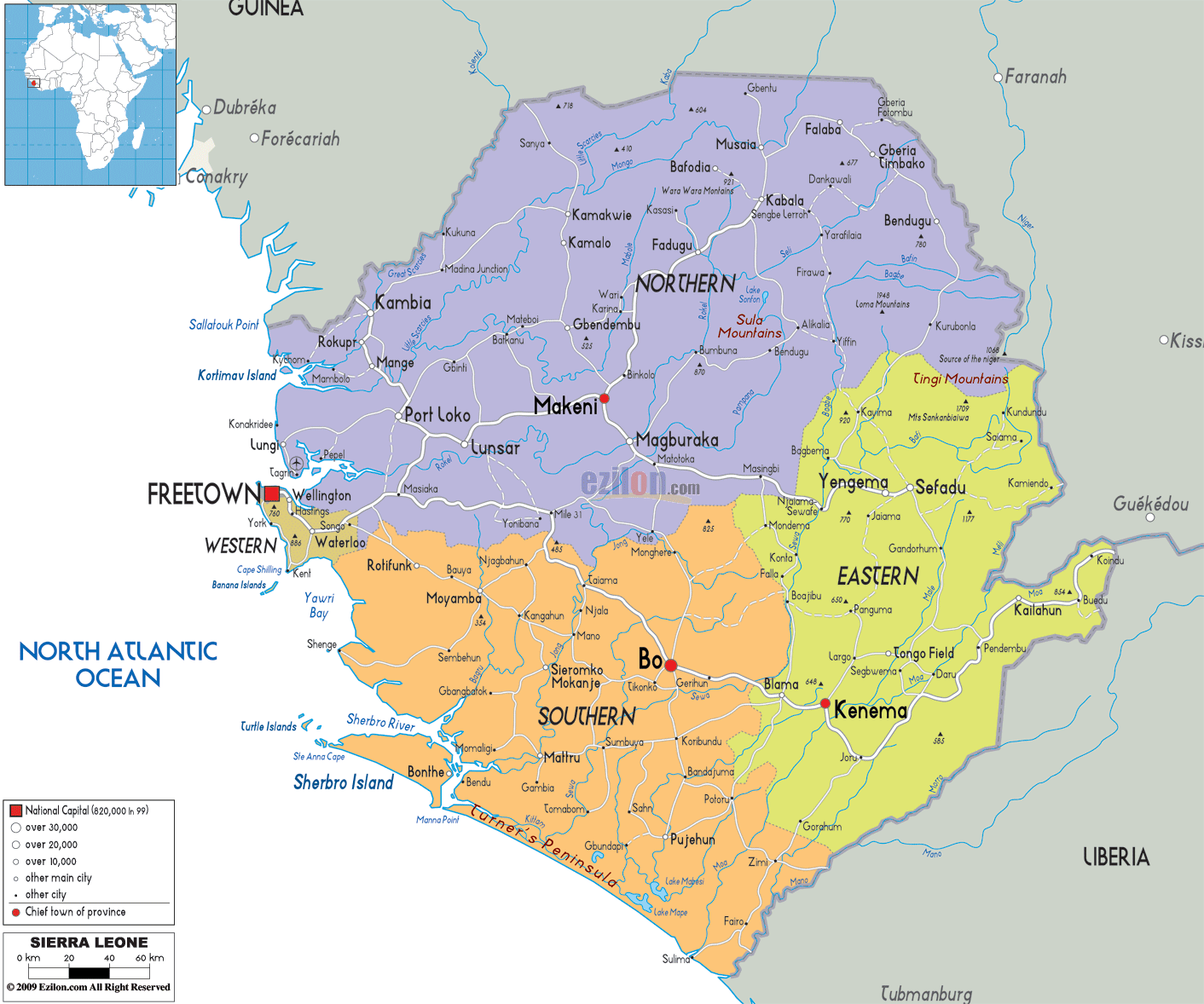

Description: Detailed large political map of Sierra Leone showing names of capital cities, towns, states, provinces and boundaries with neighbouring countries.
 The
Republic of Sierra Leone is a nation that lies in the
West Africa. On the southeastern side if the country
there is Liberia and on the north of the country, there
is Guinea. Sierra Leone has a tropical climate. The
largest city, the seat of the government and the capital
city of the country is Freetown. The second largest city
in this nation is called Bo. There are also other major
cities in the country and they are Makeni, Koidu Town
and Kenema. Sierra Leone has West Africa's oldest
university called the Fourah Bay College.
The people from Sierra Leone are called Sierra
Leoneans.

Physical Map of Sierra Leone
Physical map and map image of Sierra Leone.

Road Map of Sierra Leone
Road map and map image of Sierra Leone.

Regional Directory of United States of America
Information and guide about United States of America and websites with American topics.

Regional Directory of Europe
Information and guide about Europe and websites with European topics.

Regional Directory of Australia
Information and guide about Australia and websites with Australian topics.