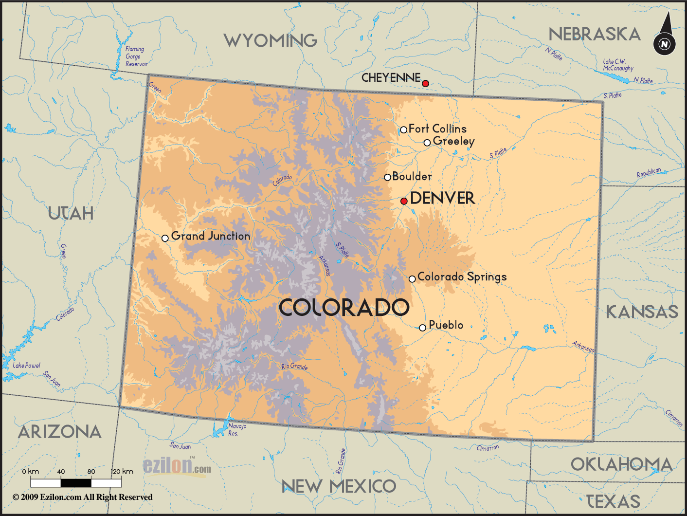

Description: Detailed clear large road geographical map of Colorado with road routes from cities to towns, road intersections, US highways and State routes.
 Colorado
is situated in the central west part of the USA and is
renowned worldwide for its Rocky Mountains. This state
attracts tourist all year round, with its spectacular
national parks, forests, ghost towns left after the gold
rush as well as Native American ruins.
Denver is Colorado’s ‘Mile High City’ capital, situated
at 1,609 m above sea level, with the backdrop of the
Rockies, which can be viewed from the Colorado State
Capital. Denver also boasts magnificent botanical
gardens, with water gardens, a Japanese garden, a rock
alpine garden and a conservatory with a collection of
orchids and bromeliads. Denver is the largest city
within a 1000-mile radius and was once the center of the
Old West.
From Denver tourists head out to the mountain and ski
resorts in the Rocky Mountains, which shelter the Rocky
Mountain National Park as well as the resort village of
Estes park. Here one may take the Trail Ridge Road,
which is one of the highest continuous highways in the
USA.

Physical Map of Colorado
Physical map and map image of Colorado.

Counties and Road Map of Colorado
Counties and Road map and map image of Colorado.

Regional Directory of United States of America
Information and guide about United States of America and websites with American topics.

Regional Directory of Europe
Information and guide about Europe and websites with European topics.

Regional Directory of Australia
Information and guide about Australia and websites with Australian topics.