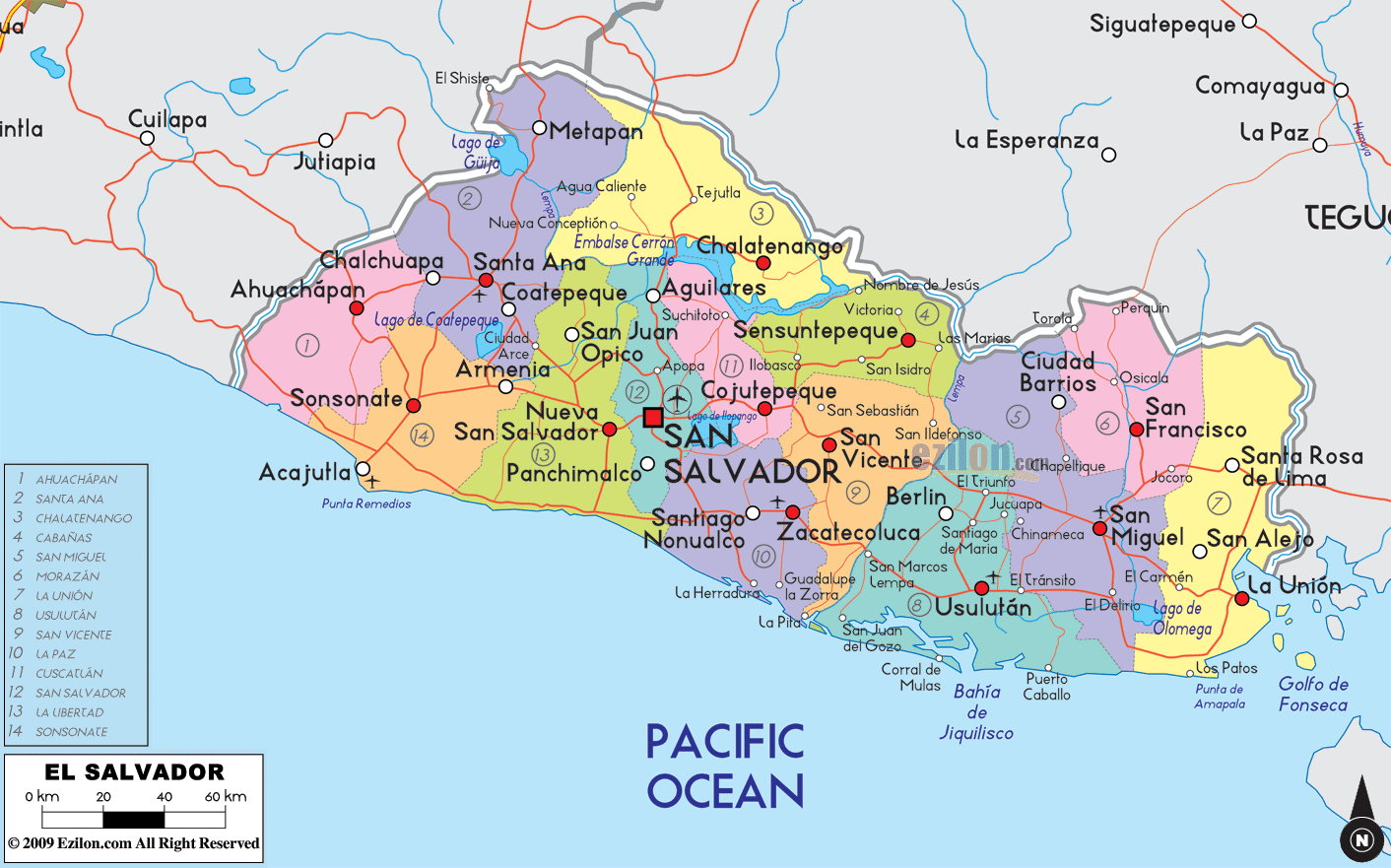

Description: Detailed large political map of El Salvador showing names of capital city, towns, states, provinces and boundaries with neighbouring countries.
 Situated
in Central America El Salvador borders Guatemala and
Honduras and looks out onto the Pacific Ocean. The
capital is San Salvador, and although it is the smallest
country in Central America it offers breathtaking
volcanic landscapes and a welcoming population. The
official language is Spanish; English is also
widespread.
Most of the country is composed of volcanic uplands,
rendering the soil very fertile and ideal for coffee
plantations and tropical flora. The Cerro Verde National
Park is of extreme natural beauty, boasting volcanic
lakes and magnificent beaches, a paradise for surfers.

Physical Map of El Salvador
Physical map and map image of El Salvador.

Regional Directory of Caribbean
Information and guide about Caribbean and website listing.

Regional Directory of United States of America
Information and guide about United States of America and websites with American topics.

Regional Directory of Europe
Information and guide about Europe and websites with European topics.

Regional Directory of Australia
Information and guide about Australia and websites with Australian topics.