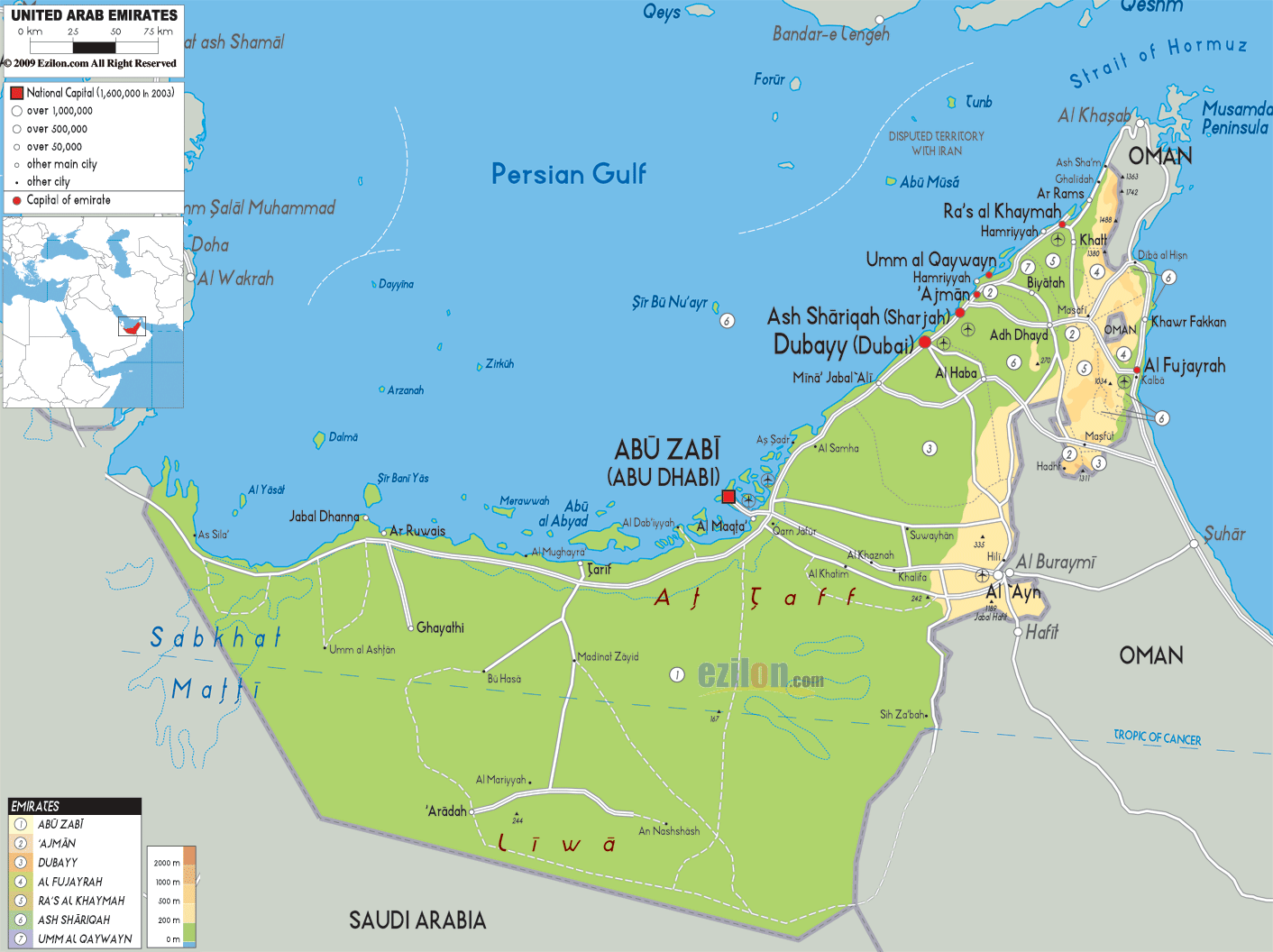

Description: The Physical Map of United Arab of Emirates showing major geographical features like elevations, mountain ranges, deserts, seas, lakes, plateaus, peninsulas, rivers, plains, landforms and other topographic features.
 The
United Arab Emirates or UAE is country located in the
southeast part of the Asian Continent. The country
separates the Persian Gulf from the Gulf of Oman. The
country falls between north latitude 22.50 and 26
degrees and east longitude 51 and 56.26 degrees. The
total area covered by the country is 83600 square
kilometres.
The country shares a coastline of 650 kilometres with
the Persian Gulf. The coastline is strewn with small
coral reefs and islands which makes navigation very
difficult during strong gales.
The deserts have two major oases which are the Al
Buraymi and the Al Liwa Oases. The highest natural peak
in the county measures in at 1527 metres whereas the
lowest point lies under the Persian Gulf. Lake Zakher is
a manmade lake in the country.

Political Map of United Arab of Emirates
Political map and map image of United Arab of Emirates.

Road Map of United Arab of Emirates
Road map and map image of United Arab of Emirates.

Regional Directory of United States of America
Information and guide about United States of America and websites with American topics.

Regional Directory of Europe
Information and guide about Europe and websites with European topics.

Regional Directory of Australia
Information and guide about Australia and websites with Australian topics.